Antarctica 2009 - the Landings
Our eleven landings and polarcirkel boat cruises are listed here! I've provided the logs from my hand-held GPS (a Garmin GPSmap 60CSx), in Google Earth format. Local time was three hours behind UTC. Click on the place names below to open our GPS track in Google Earth, or click on any images for a bigger picture, or click here for a slide-show.
Photography
Most of the pictures below were taken with Nikon D60 DSLRs, as
both Cecilia and David have one. Cecilia has the 18-200mm VR zoom lens,
but David has a rather bigger outfit which includes the 16-85mm VR and 70-300mm
VR lenses. Realising that this would be a little big, would require time
to change lenses, and that he might not want to change lenses in the middle of a
snowstorm, David also bought an 18-200mm VR to make a more compact outfit for
use on excursions. When things are happening so rapidly, you don't always have all the time
you want for photography, selecting viewpoints, changing lenses, trying
different exposures etc.
| Date and Time (UTC) |
||||
|---|---|---|---|---|
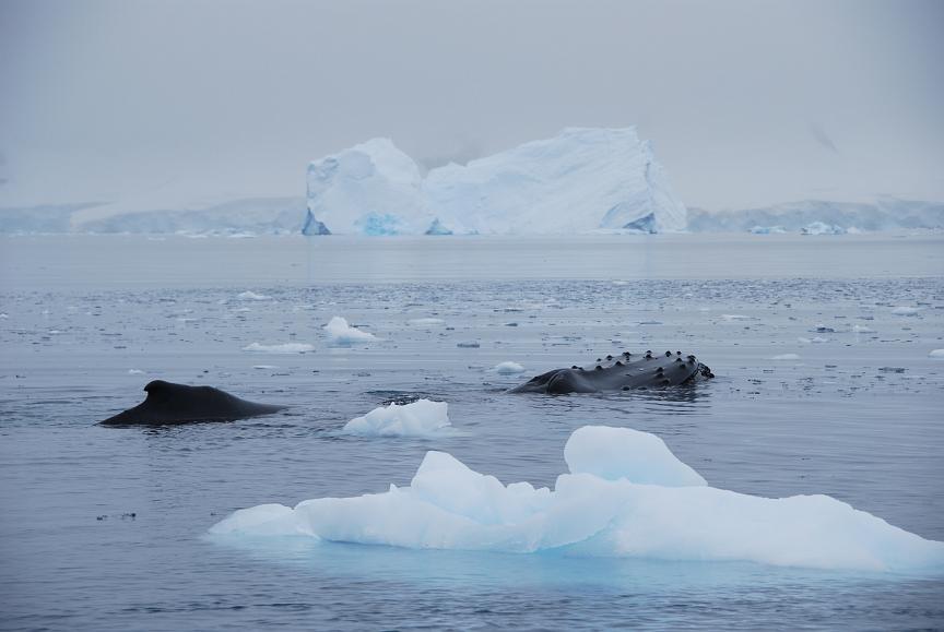
For close-up observation of whales, you can't do better than a polarcirkel boat tour. Better not get too close, mind! |
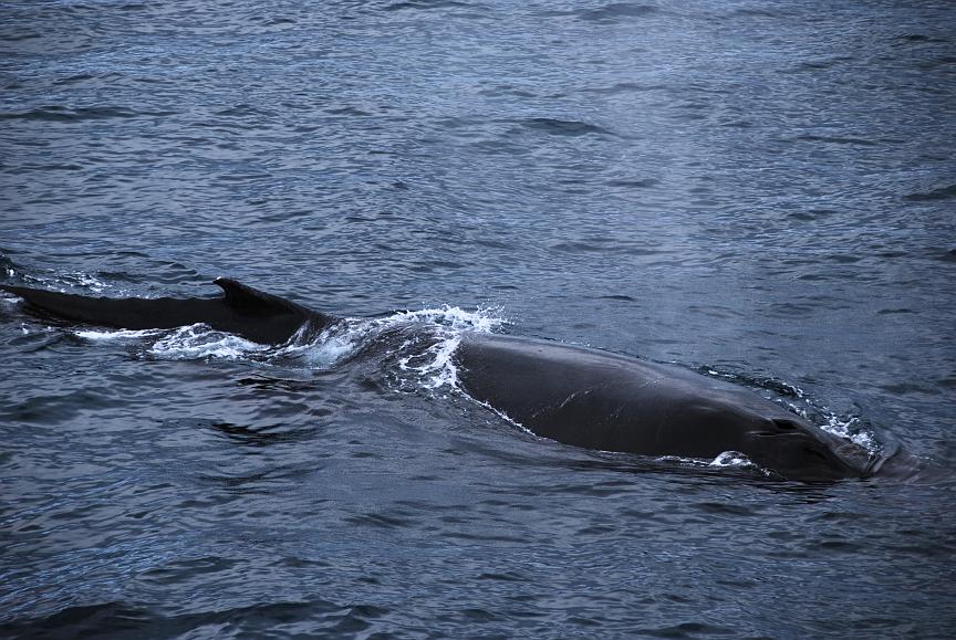
Of course, sometimes the whales come to the ship, and there's a polite mass exodus of photographers from the dining room to grab the best shot. Timing whale photos can be difficult, and one of the situations where continuous taking can be helpful. |
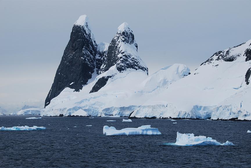
Una's tits - one (or or it that two?) of Ian Stone's favourites! |
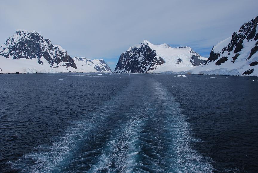
Leaving the Lemaire Channel. |
|
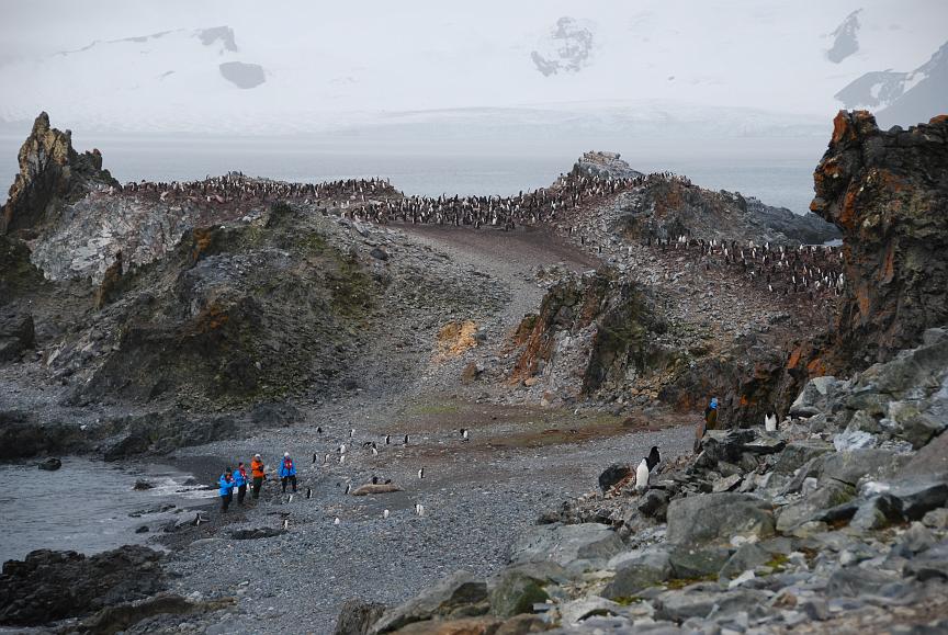
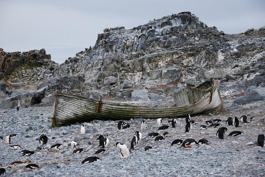
| Half Moon Island 2009 Jan 25 2110 – 2223 slide-show |
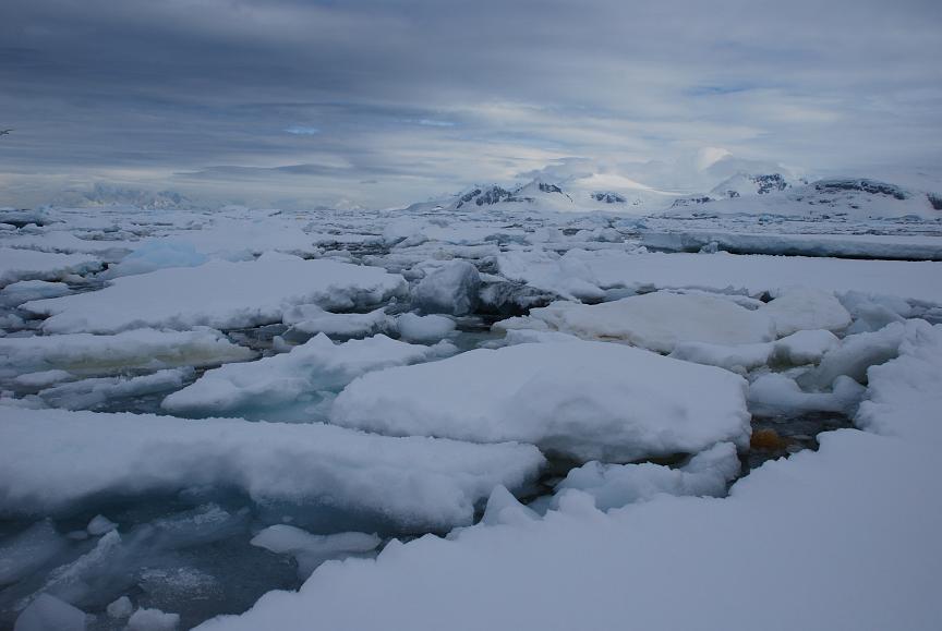
Fascinating patterns visible in the ice - from structures formed over many years. |
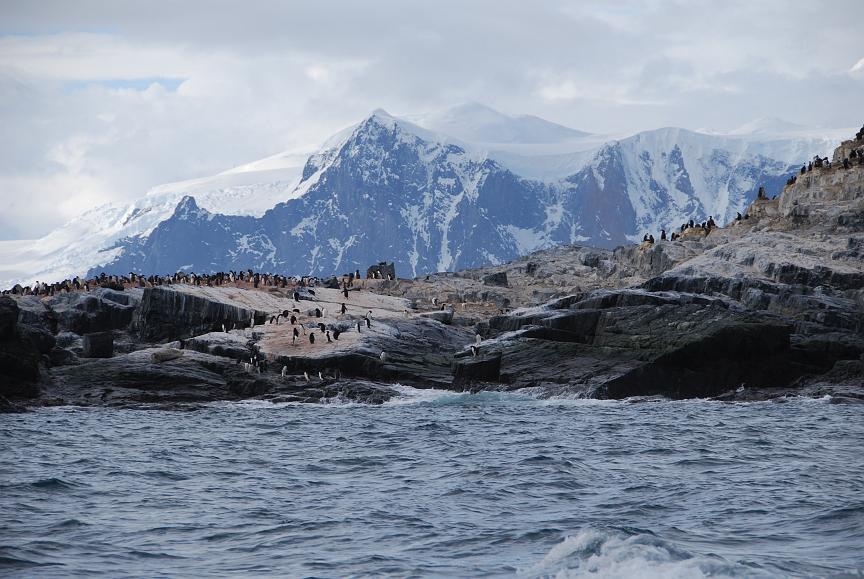
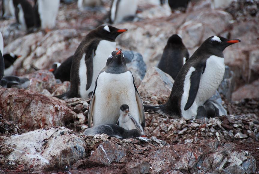
Cecilia's picture illustrates beautifully how penguins like to live in rookeries built high up, away from the beach. |
Boat wrecks like this are well preserved due in part to the dry atmosphere - they are historic monuments and not bits of scrap you can take away! |
Hello, Mr. Chinstrap! |
| Almirante Brown 2009 Jan 26 1407 - 1557 slide-show |
An Argentinean scientific base on the Antarctic mainland. The base is occasionally maintained, and that was in progress while we were there. |
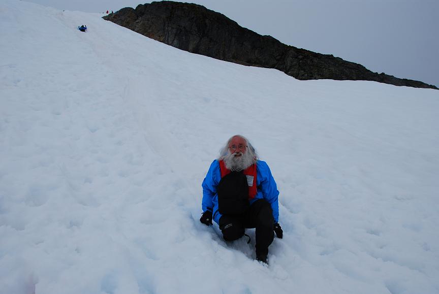
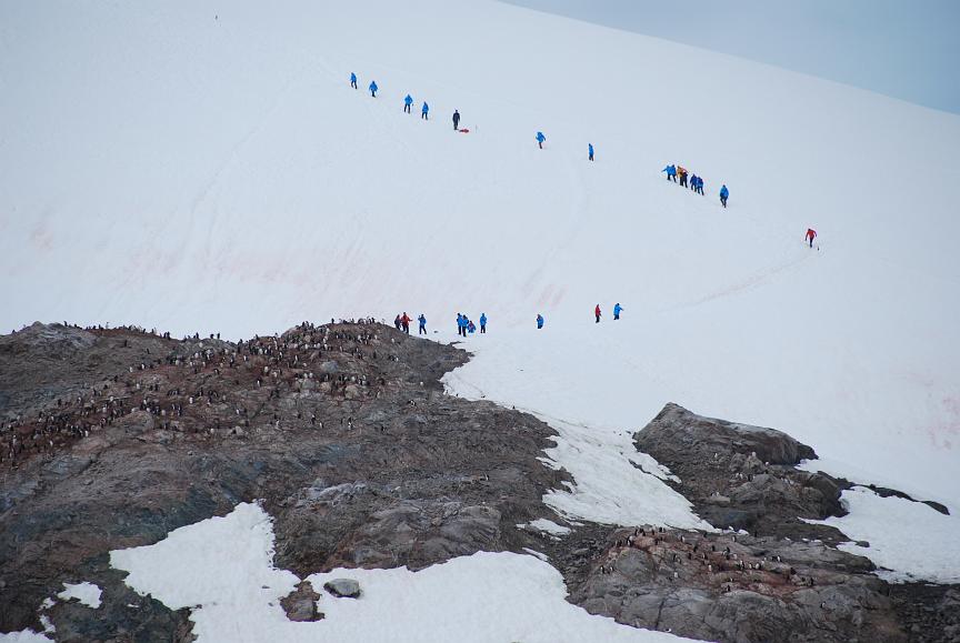
You can see the long line of "blue penguins" marching up to .. |
.. the top of the hill, from where they enjoyed this magnificent view, .. |
.. and then some of them slid down on their backsides! |
| Cuverville Island 2009 Jan 26 2016 – 2133 slide-show |
Our "blue penguins" get more proficient each time they enter or exit the polarcirkel boats. |
We are greeted by many Gentoo penguins on the beach, as they are diving in the sea to feed their young. |
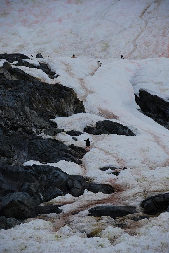
There is a regular stream of penguins going up and down the paths which they have carved into the snow with their many journeys. Look at the marks they make! |
At the top of the trail, proud parents are rearing their chicks. Those are the grey ones dressed in down, which they will moult away to reveal their true sea feathers. |
| Detaille Island 2009 Jan 27 1857 – 1934 slide-show |
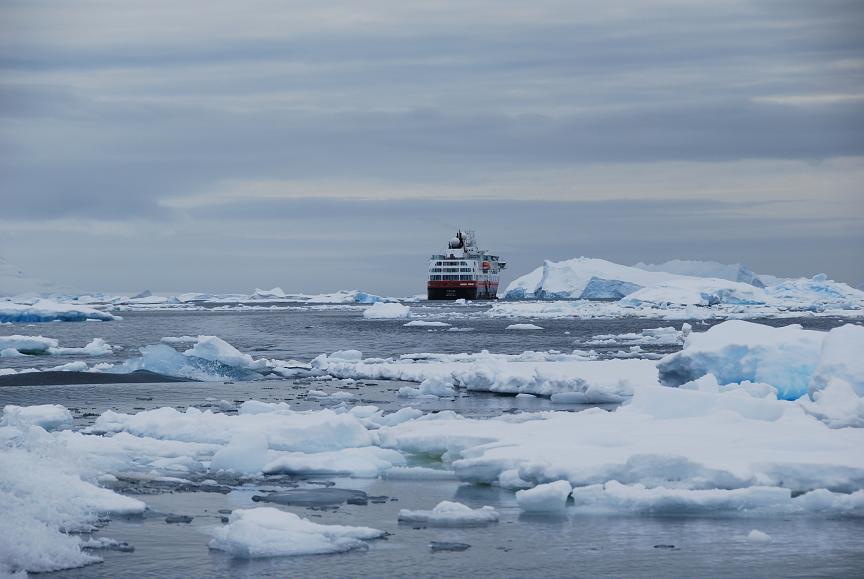
We seem a long way from our temporary home - the MV Fram. |
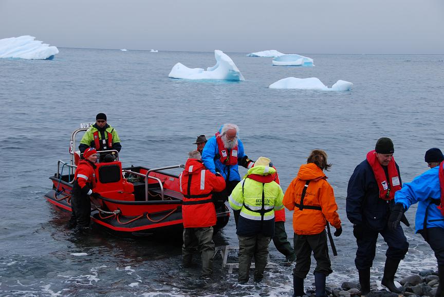
Sea-ice prevented us from landing on the island, so a polarcirkel cruise was substituted instead .. |
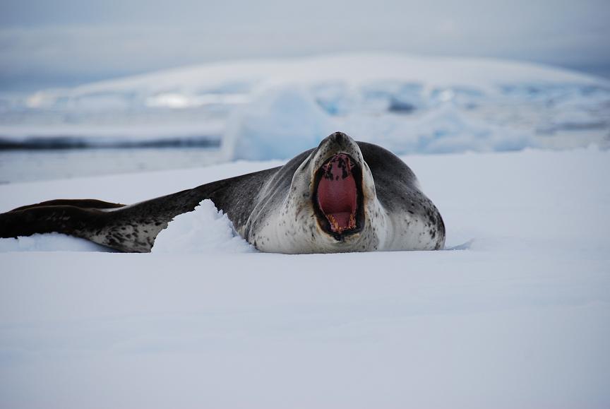
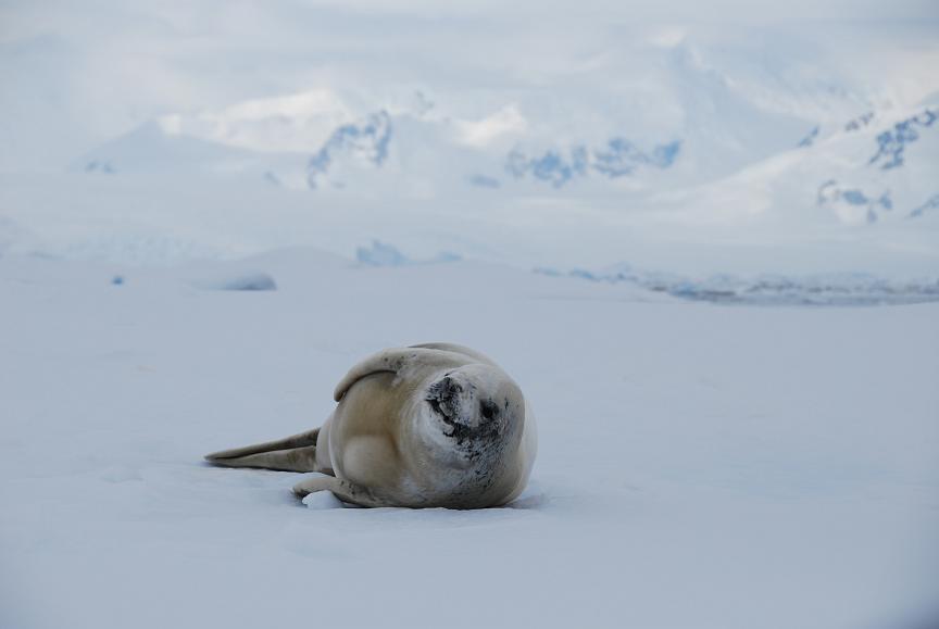
.. allowing us to get right up close to a crabeater seal. |
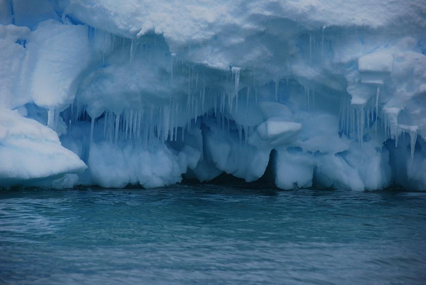
Details of an iceberg, seen close up from the polarcirkel boat. |
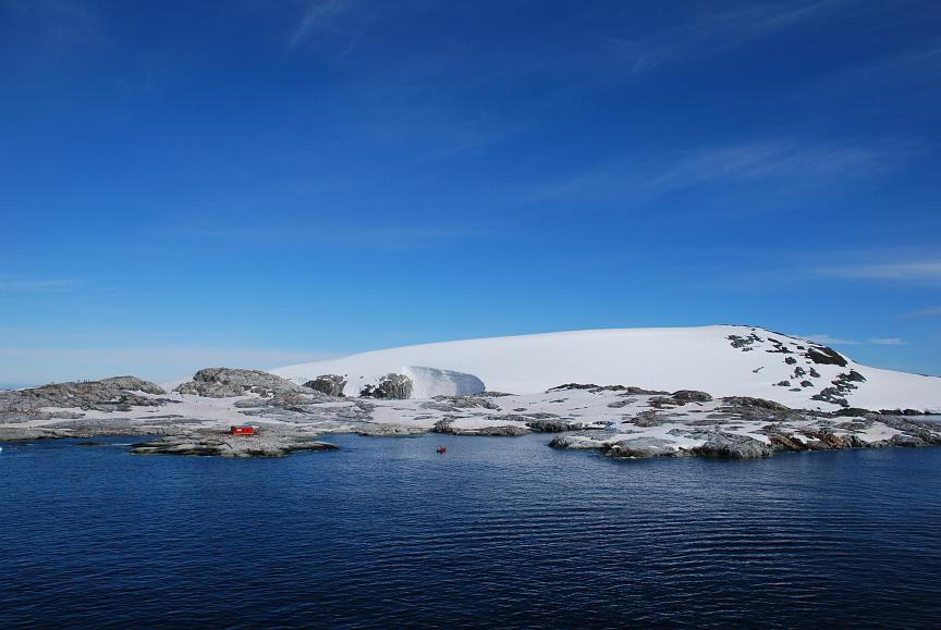
| Dion Islands 2009 Jan 28 2008 - 2050 slide-show |

The view from near sea-level - our guide sits in the prow of the polarcirkel boat. |
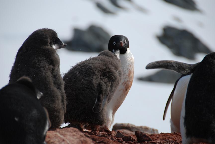
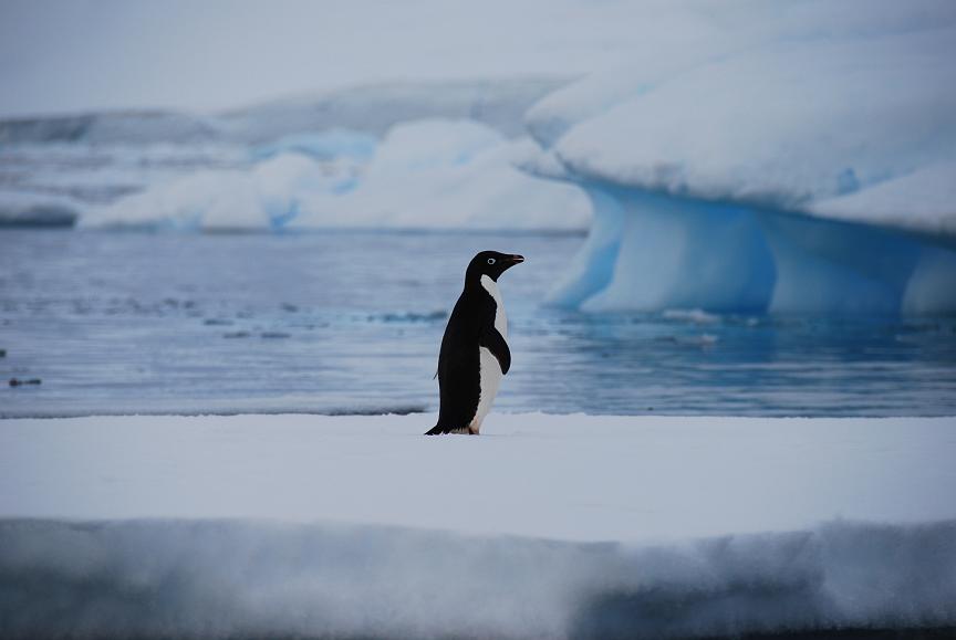
A colony of Adelie penguins against a splendid backdrop! |
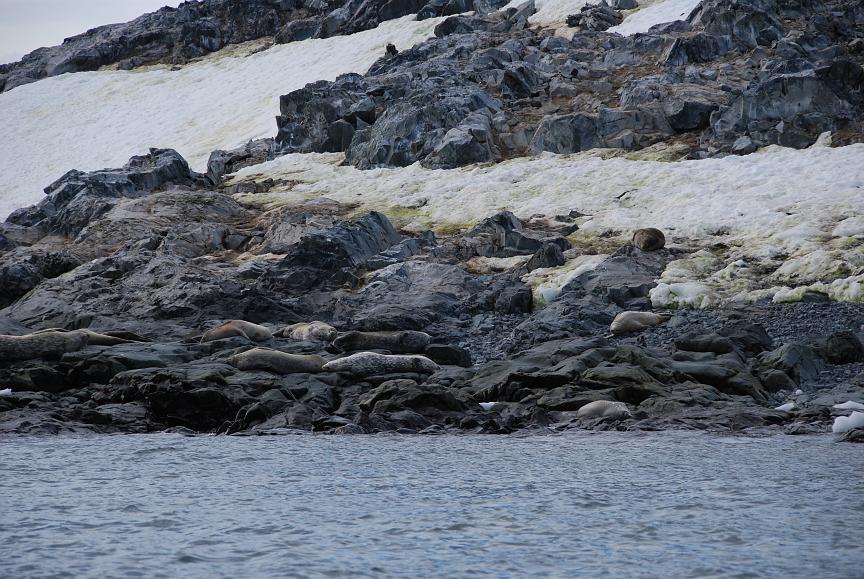
Spot the seals - well camouflaged, aren't they? Click the photo for a bigger image. |
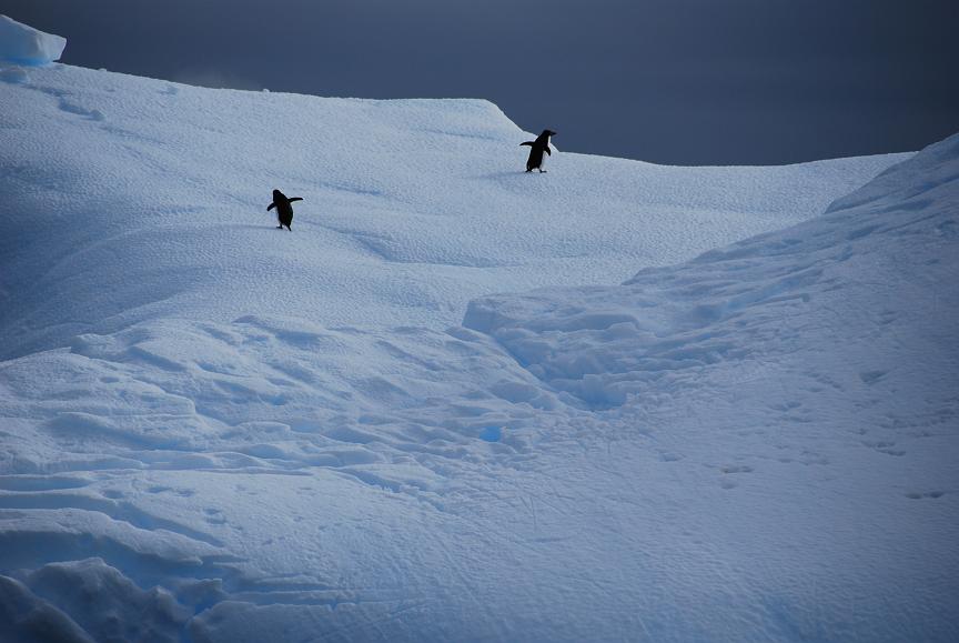
And on a nearby iceberg, two Adelie penguins look for the high parts. |
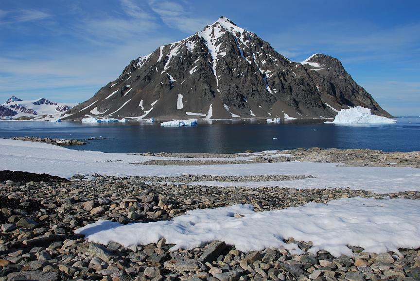
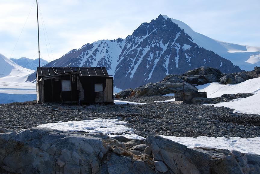
| Stonington Island 2009 Jan 29 1141 – 1313 slide-show |

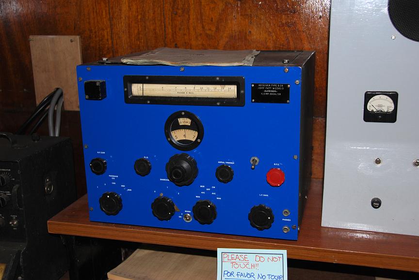
There are both British and American bases here dating from 50 years ago - no longer in active use. |
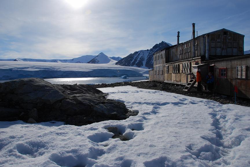
The British "Base E". We found decayed sacks of coal just nearby. See where the husky dogs lived. |
Imagine waking up to this view.... |
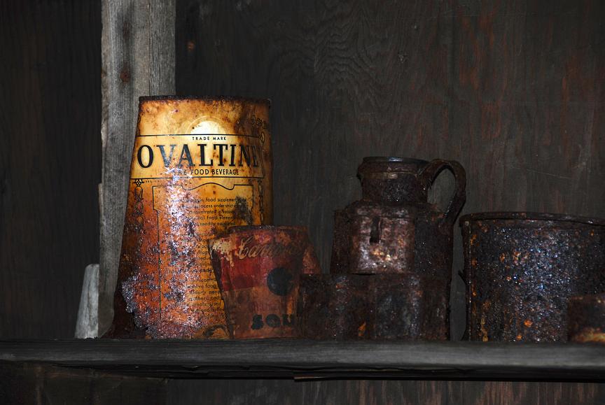
Refreshments for those long evenings.... |
| Horseshoe Island 2009 Jan 29 2227 – 2346 slide-show |

The British Base "Y". |
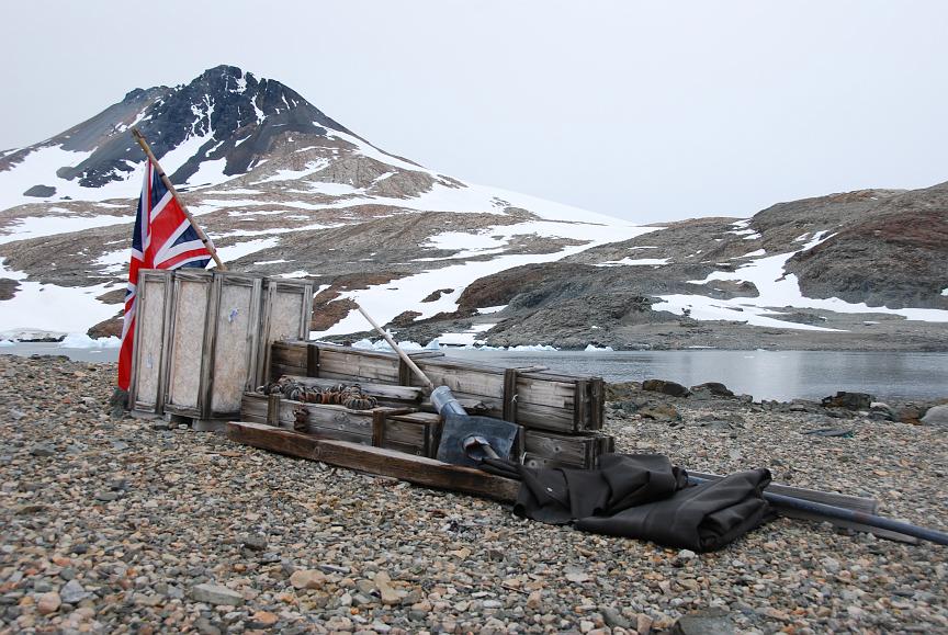
Sledge and flag. |

Living and sleeping quarters. |
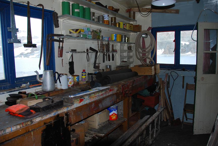
Mechanical workshop. |
| Fish Island 2009 Jan 30 2117 - 2227 slide-show |
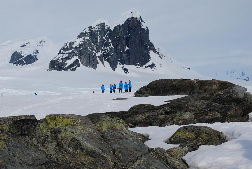
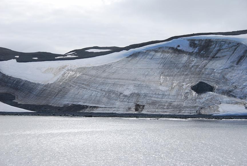
Although we were headed for Prospect Point, sea-ice prevented us from landing there. Fish Island with its deep snow and moss was our alternative. |
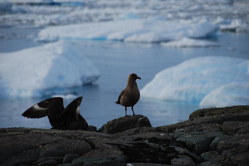
However, we did need to take care not to become the target of the skuas' attention. |
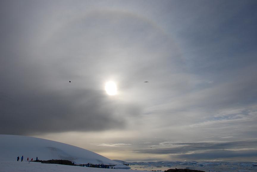
Ice crystals producing a halo round the sun. What exposure should we use to capture the essence of this image? |
During the return polarcirkel boat trip we pass icebergs inhabited by both penguins and seals such as this one. |
| Petermann Island 2009 Jan 31 1144 – 1509 slide-show |
The view from the ship. Can you spot one of our polarcirkel boats? Yes, the sky really was like this ... although a polarising filter may have helped. |
Adelie penguins here - lots of new chicks being fed .. |
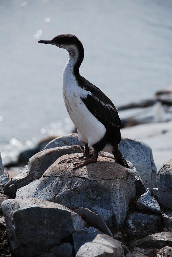
.. with many cormorants looking on. |

Just a short walk away, this magnificent view of the edge of the ice. |
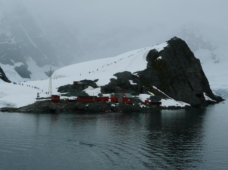
| Jougla Point
& Port Lockroy 2009 Jan 31 2051 – 2220 slide-show |

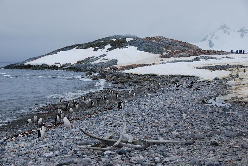
Whale bones on Jougla Point beach. This is next to Port Lockroy, and made an excellent extension to the excursion. |

A young penguin being politely directed toward his own parents, who should have food for him. |

Port Lockroy from the MV Fram. This occupied station is the furthest south Post Office in the world .. |
.. which also houses a museum of how things used to be. It's satellite phones, now, by the way! |
|
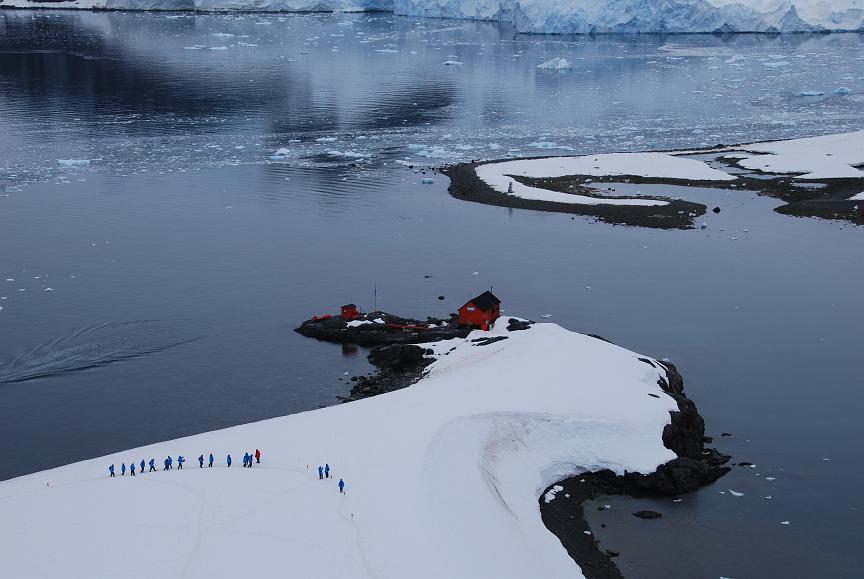
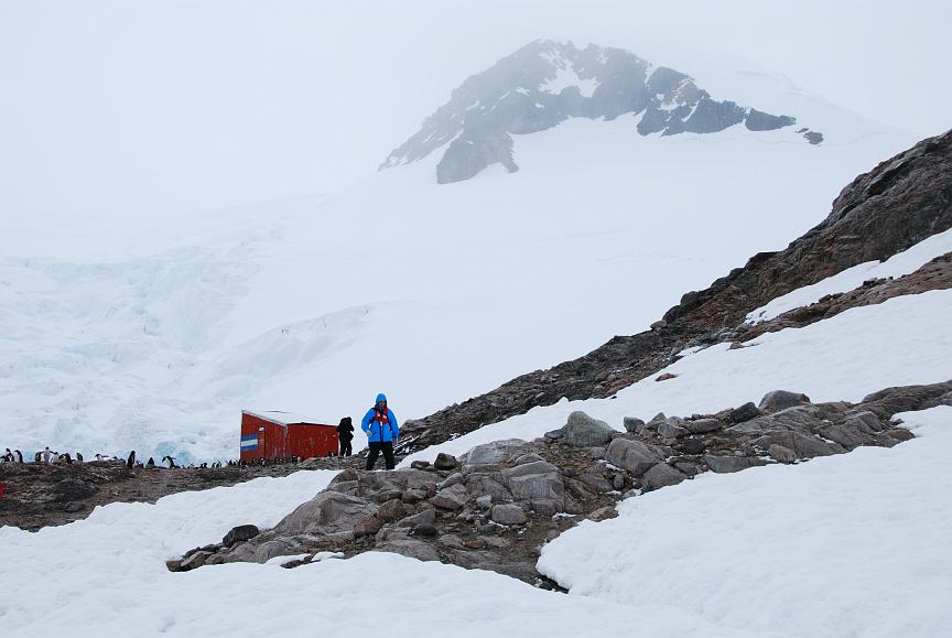
Neko Harbour 2009 Feb 01 1119 – 1602 slide-show |
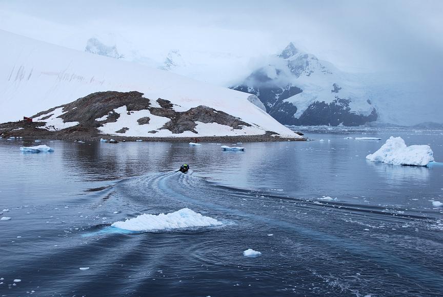
Another mainland Antarctic landing site. From the MV Fram you could watch the polarcirkel boats taking in group after group, while you waited for your group to be called. |
A problem at this site was the danger from ice calving from the adjacent glacier, falling into the sea, and creating a wave on the beach where we landed. Although we didn't see ice calving, we did see this mini-avalanche which brought home the danger. It snowed on the ship's deck while we were here. |
The telephoto-lens view from the ship, of all the "blue penguins" hiking up the hill in the snow! |
The immediate surroundings of the Argentine refuge hut also provided shelter for Gentoo penguins. |


For Neko harbour, the time is the total "stationary" time, as the shore excursion was not logged.