|
| |
Where is Svalbard?
 |
I expect that your first reaction might be - Svalbard, where's
that? Well, perhaps you have heard of Spitzbergen, actually the largest of this group of
islands way up beyond the Arctic Circle above Norway - about half way between the
northernmost tip of Norway and the North Pole. It's only because the warm currents of a
branch of the Gulf Stream that runs past Iceland and up to Svalbard that visits there are
possible for non-Arctic-explorer types such as ourselves. Being so far north of the Arctic
Circle means that in the summer there is perpetual daylight, and of course perpetual night
in the winter. In summer there are various touring possibilities with various degrees of
‘adventure’ - hiking, trekking and camping are all possible - even snowmobile
tours, ski expeditions and mountaineering. David's choice (no surprise!) was for the
comforts of a hotel in Longyearbyen combined with a boat-based journey along
Spitzbergen’s west coast. |
 |
 |
 |
[Please click on any thumbnail image for a larger version]
Getting to Svalbard
As you can't get a plane from Edinburgh direct to Svalbard, we were tempted to
make it a longer Norwegian holiday, and decided to stop over in Tromsř and Oslo on either
side of joining our tour group in Svalbard. Staying in Tromsř provides time to become
accustomed to the 24 hours of daylight, and the town’s museums are an excellent
introduction to the history of polar exploration and the ecology of the arctic regions.
Our Time on Svalbard
We spent five nights on Svalbard, which may not seem very long but bear in mind
that we were frequently up till way past midnight and sometimes rising at 05:00 the next
day! At least one excursion started at 23:00 (11pm). In fact our flight to Svalbard from
Tromsř departed at midnight and landed at 01:30, so that started us off in the right
timeframe.
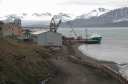
| After a night and breakfast in the Svalbard Polar Hotel, we assembled for an
introductory briefing - what to do in the event of polar bears etc. - and a short time to
look round the main town of Longyearbyen before setting off in our boat - the MS Brand -
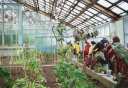
to visit the former Russian mining settlement of Barentsburg. This was a fascinating look
at what had been, until very recently, a completely isolated and self-sustaining
community. Indeed, they still raise animals and crops indoors with heat produced from the
surplus coal that is still mined. However, recent economic difficulties mean that this
colony is having to confront changes. |
 |
 |
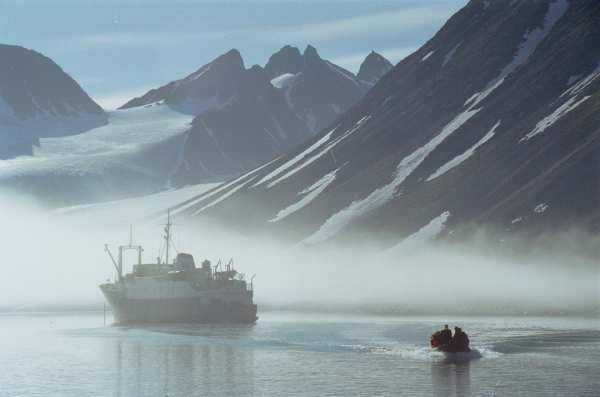
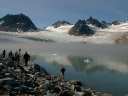
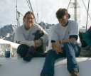
Life On Board
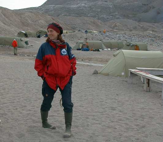
Depositing the trekking group with provisions at their base camp and collecting
their predecessors provided us with new travelling companions on the boat, and also
opportunities to participate in a couple of their more demanding walks (which Cecilia
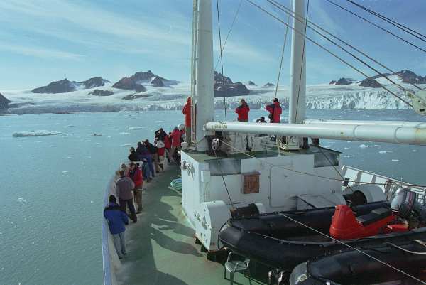
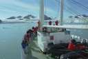
appreciated). Our itinerary on the MS Brand was not fixed, for apart from the sheltered
and dependable landing places at the trekkers’ campsites, what we did depended on the
exact weather and sea conditions that prevailed at the time. But what an advantage
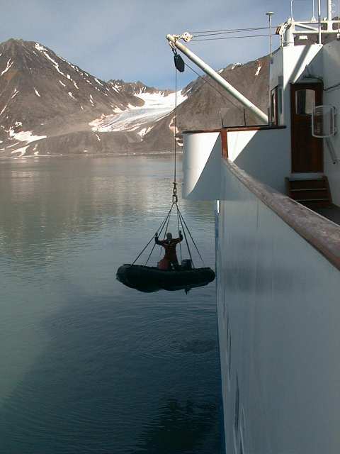
the smaller MS Brand had on the large cruise ships we sighted, for we were able to
approach the shore where larger vessels cannot. As often as possible we landed in
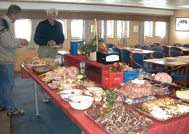
the sturdy Zodiac dinghies and made various excursions lasting up to several hours, but
always secure in the knowledge that lunch or dinner would be ready waiting for us on our
return!
 |
 |
Svalbard Polar Travel’s experienced and capable guides increasingly
impressed us with their organisational skills, for the teamwork between the group leaders
and with the ships captain and crew was very evident - as was our guides’ ability to
be at the same time both efficient and friendly. |
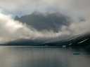
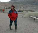
Our Furthest North!
| We were able to sail north of the 80 degree latitude line - in glorious
sunshine - celebrated by champagne and a comparison of GPS receivers. It really
makes you appreciate the effect of the Gulf Stream, because on the flight back to the
north of Norway there was still extensive pack ice to be seen along the east coast of
Svalbard. However, conditions became too rough for us to reach Moffen island, where we had
hoped to see walruses, and so, in the brightness of the arctic summer night we turned
southwards, and, for Cecilia (an enthusiast for all things Swedish) the highlight of the
voyage. For she woke to find our ship had anchored in a bay at the island Danskřya
where the Swedish explorer Andreé had set out in 1897 on his ill-fated balloon attempt to
reach the North Pole. The remains of hydrogen-generating equipment and other
paraphernalia of the expedition still litter the beach; such places are treated as
historical monuments from where even a humble nail may not be removed. |
 |
 |
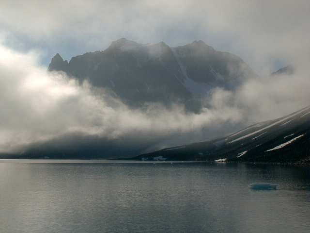
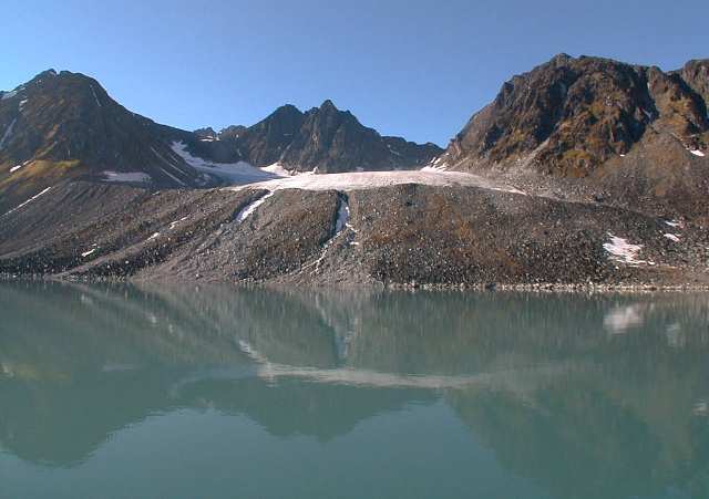
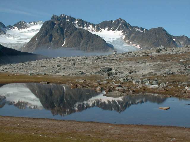
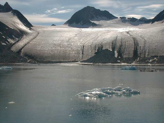
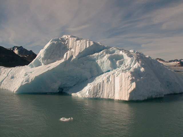
Birds and Glaciers
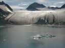
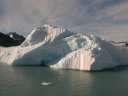
| Later that day we marvelled at just how close the MS Brand was able
to approach the towering cliffs, birds jostling along every ledge and cranny, and the
spectacular icy cliffs of the glacier fronts as icebergs separated and floated past us
down fjord. The magical tinkling sounds as air escapes from melting ice accompanied
the more familiar clicks of cameras. "This place just eats film", remarked
a fellow passenger. |
 |
 |
 |
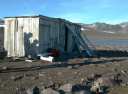
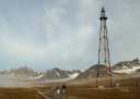
| The MS Brand sailed on to Svalbard’s northernmost settlement, Ny Ĺlesund,
now primarily a research station. To us that evening it looked strangely like a
colder version of a wild west township, with some wooden buildings along a dusty main
street. Everything here seems to be "the world’s most
northerly…" (post office, café, hotel etc.) and in the café-pub Cecilia
impressed our party by being recognised by one of the locals! (a former Edinburgh geology
graduate - great PhD project!). |
 |
 |
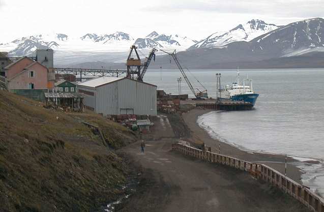
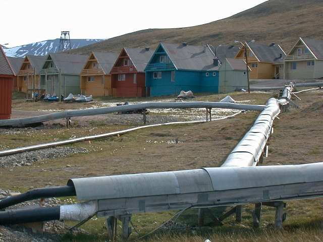
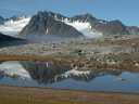
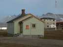
Longyearbyen
| On our return to Longyearbyen we had time on our own to walk the entire extent
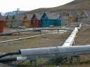
of the colourful houses of this 1500-strong community. All the services - water
supply, drains, sewers etc. - have to be contained in lagged box constructions above
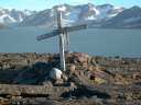
ground because of the permafrost. We continued on to such fascinating areas as the
little hillside cemetery where some workers from 1919 were buried - recently exhumed to
obtain cultures of the influenza epidemic which killed them - and visited the excellent
museum which brought past and present into focus. As mining gives way to increasing
tourism, there are sure to be changes - July 1999 will doubtless be remembered for the
slab laying, as Longyearbyen’s main street became a "pedestrian precinct"!
But in Svalbard nature is sure to remain in charge. |
 |
So how to sum up our visit? We won’t call it "the holiday of a
lifetime" - for we hope to return. Meanwhile, just to have been there is a
privilege.
|