


|
|
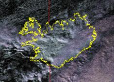
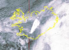
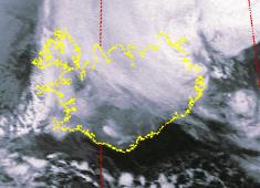
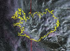
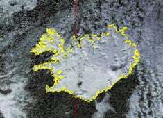
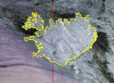
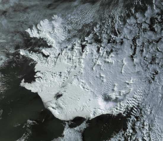
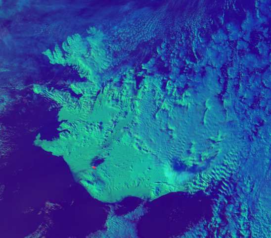
Hekla ImagesThe following pictures were received from the NOAA polar orbiting weather satellites. They show a sequence of images around the time of the eruption of Hekla at the end of February 2000. They are false-colour pictures, with the colour representing the apparent temperature, and the brightness taken either from a long-wavelength visible sensor (daytime) or a thermal sensor (nighttime). The infra-red is presented black-hot, so the man plume is apparently cold, not hot as you might expect. Roger Ray has kindly provided me with high-resolution data, one of which is a version of one of the images below. This has allowed me to process the image and extract the channel 3 data which is particularly sensitive to forest fires etc. because of the particular wavelength at which it works. By making channel 3 red, you can clearly see the shape of the erupting area. I've put these images at the bottom of this page as they are a little larger (33KB and 38KB). You can find more images on Roger's Web site (no longer active). The images have all been manually rotated to be in approximately the same north upwards orientation. I've indicated whether the brightness component is derived from channel 2 (visible) or channel 4 (IR).
Roger Ray's HRPT Images
|
|
|